WEATHERGRAM
YOTREPS
Compiled Sun 30 April 2017
Bob McDavitt's ideas for sailing around the South Pacific.
Disclaimer: Weather is a mix of pattern and chaos; these ideas are from the patterned world.
The Tropics
TC FRANCES is fading in the Timor Sea.
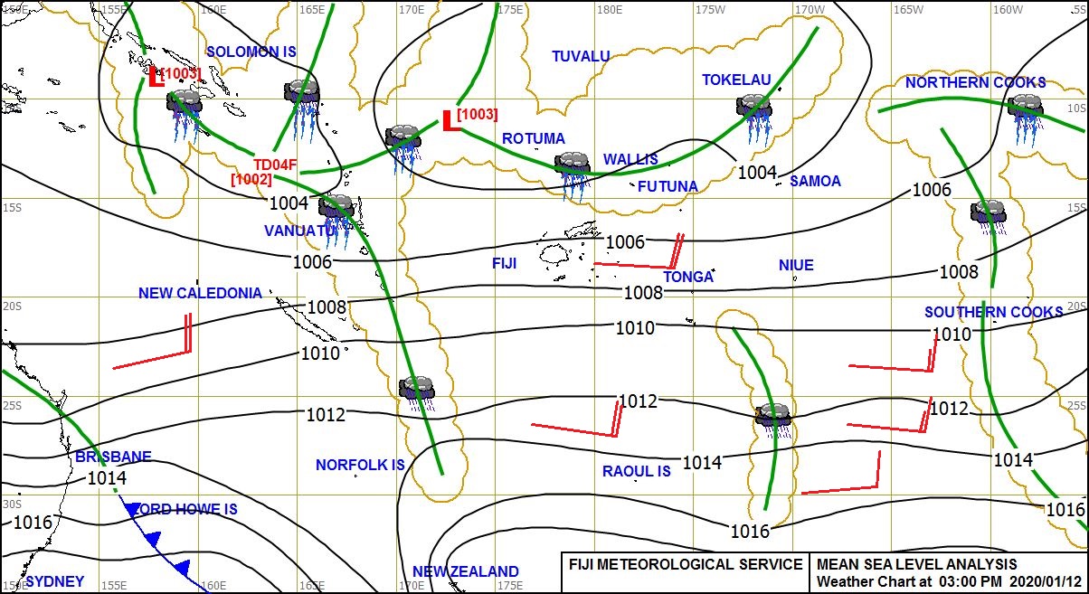
This evening a tropical depression has formed near 10S 163E or between Solomon Islands and northern Vanuatu, called 99P by Guam. See www.met.gov.fj/aifs_prods/0991.jpg
Some global weather models deepen this system during the coming week. They still are coming up with differing possible tracks, and the most likely if to be slowly to the SE at first then the SW or WSW, maybe into the Coral sea by end of the week. If you are entering this area this week then keep an eye on 99P.
There is another depression in the Indian Ocean being watched at present, known as 98P
These systems can be seen at ruc.noaa.gov/tracks/
Rain from last week, compared with previous week, from trmm.gsfc.nasa.gov/trmm_rain/Events/big_global_accumlation.gif, shows wet areas near Palau (first in months), Darwin (from TC FRANCES) and Missouri, USA. The South Pacific convergence zone is more united, but seems to be weakening about and east of Marquesas.
WEATHER ZONES
SPCZ=South Pacific Convergence zone.
SPCZ is strong this week and contains Tropical Depression 99P which is expected to deepen and go SE at first then slowly SW or SSW across Vanuatu an into the Coral Sea. Its future remains uncertain, and it is the system to watch this week.
Forecast for Tropical accumulated rainfall may be seen at from windyty.com
Subtropical ridge (STR)
High in Tasman sea on Monday is expected to travel east across Northern NZ on Tuesday and then travel east along 30S.
Another High is expected to travel east across Bass Strait on Thursday and then across the Tasman Sea and North island by Sunday 7 May.
Australia to New Caledonia:
With the Highs travelling across the South Tasman Sea, and a tropical low likely over Vanuatu or in the Coral Sea, there are lots of East/SE winds between Australia and New Caledonia later this week. Best day of the week to set off is Monday. We may have to wait until Mid-May for the next good enough weather pattern for this voyage.
Departing NZ north for the tropics:
Trough crossing the North Island tonight is bring a southerly gale to Cook Strait with waves washing up on Wellington Roads, and undermining at least one house.
This trough is moving off to east of the North island o Monday and there is good enough weather pattern on Tuesday (passing ridge) for departure to points north. Those intending to g to New Caledonia should keep an eye on that tropical depression, but at this stage a TUESDAY departure looks OK.
Sadly. on Wednesday, Thursday, and Friday a Low is expected to come out of the Southern Ocean and travel NE along NZ east coast and then deepen to east of North Island.
A Tuesday departure should get north quick enough to miss any rough stuff, but a Wednesday or later departure is likely to encounter strong S/SSE winds and 3 to 4 m southerly swells near 30S on Sat/Sun.
The next good-looking opportunity seems to be Saturday 6 May.
New Zealand to the east (Tahiti)
On Wednesday, Thursday, and Friday a Low is expected to come out of the Southern Ocean and travel NE along NZ east coast and then deepen to east of North Island. if we depart Monday or Tuesday then we will need to divert to 25S near 175W to avoid the strong/gale Se winds and heavy swells around this low next weekend. I don't think this is the best weather venture for this route - I think a departure AFTER that trough, from Northland on Sat 6 May (or from Lyttelton on Friday 5 May) could go more direct, perhaps.
Mexico to Marquesas:
A moderate to strong Tehuantepec NE blast of wind near 95W is likely on 5 and 6 May.
Further north, it should be useful north to NW flow for departure anytime this week.
The ITCZ is likely to be between 6N and 2N, and light winds between 3N and 5S on the direct path. Perhaps more wind if you go a bit further west of the rhumb line. Maybe aim for 7N130W then direct.
I shall discontinue this voyage form my list next week unless someone asks for it to continue.
Panama to Galapagos
The forecast is for moderate southerly winds at panama except for a period of light variable winds on 3 and 4 May (best days this week to departs).
I shall discontinue this voyage form my list next week unless someone asks for it to continue.
Galapagos to Marquesas
Trade winds are expected to spread north and fill in this week so that a direct path may be as good as any for starters. However, there may be light winds near 10S from 125 to 135W and it may be an idea to sail around those (or motor thru them).
>>>>>>>>>>>>>>>>>>>>>>>>>>>>>>>>>>>>>>>>>>>>>>>>>>>>>>>>
See my website http://www.metbob.com for more information
Feedback to bob@metbob.com or txt 6427 7762212
Weathergram text only (and translator) is at weathergram.blogspot.co.nz.
Weathergram with graphics is at metbob.wordpress.com,
Click FOLLOW at bottom right to subscribe.
To unsubscribe send a reply email saying LEAVE.
>>>>>>>>>>>>>>>>>>>>>>>>>>>>>>>>>>>>>>>>>>>>>>>>>>
Followers
Translator
Bob McDavitt's ideas for sailing weather around the South pacific
30 April 2017
Subscribe to:
Post Comments (Atom)
No comments:
Post a Comment